

Measure forestry, land and agriculture emissions with FLAG
Agrifood and land-use companies can now measure their forestry, land and agriculture (FLAG) emissions with the same rigor as every other category, using official MITECO emission factors by province.
In Carbon Footprint
What’s new
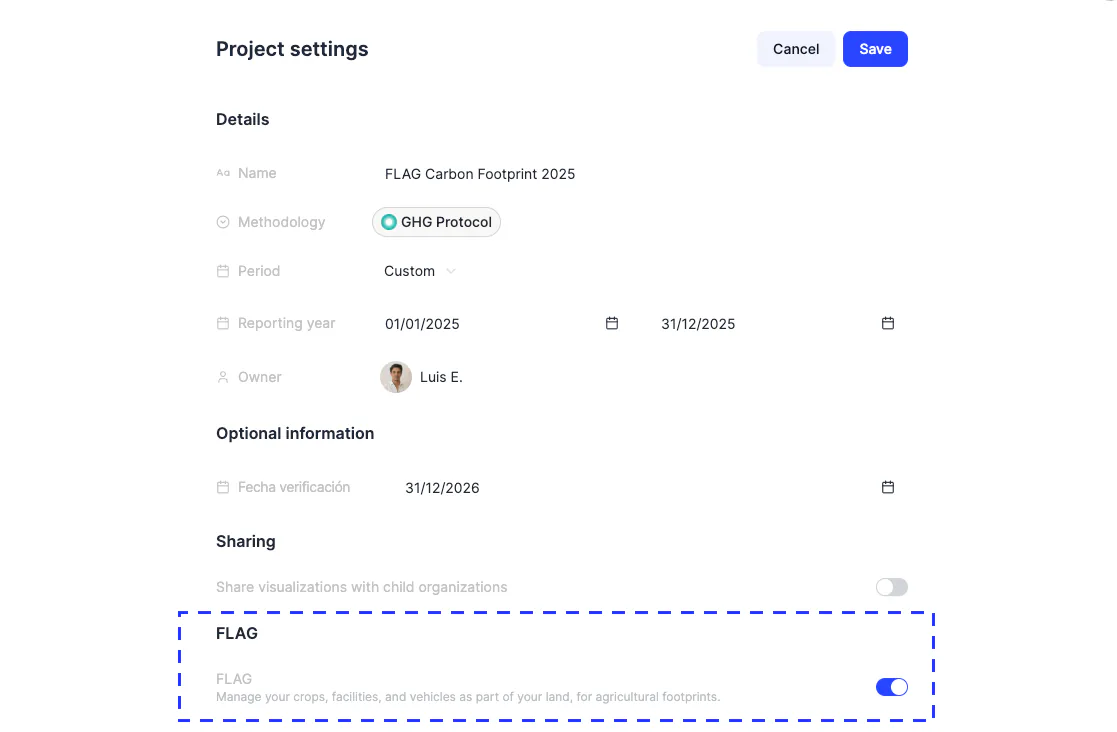
Introducing FLAG (Forestry, Land and Agriculture), a new category for calculating emissions from agriculture, livestock and land use. If your organization farms, manages land, or sources agricultural raw materials, you can now measure that footprint with the same level of detail as every other category in your carbon inventory, using official MITECO emission factors by province.
What you can do
- Create land management units with their country, province and typology
- Record crops across the official typologies, from olive groves and vineyards to wheat, rice and almonds
- Add agricultural inputs such as synthetic fertilizers, manure, organic amendments and liming
- Link facilities and vehicles you have already registered in Dcycle
- Distinguish between land you own and land operated by a supplier
Why it matters
Frameworks such as SBTi require agrifood companies to report FLAG emissions as a separate category. Until now, these emissions either sat outside the inventory or were roughly estimated. With this release they become part of your official calculation, helping you report with more rigor and meet the expectations of these frameworks.
This is the first release for FLAG. We will keep expanding this category with more coverage over time.